Prepare your arrival
Your journey, arranged ahead
Les Belleville · 2 300 mChambéry Airport
Winter arrivals call for precise coordination. Your flight reference and resort address help us organise the pick-up.
Val Thorens
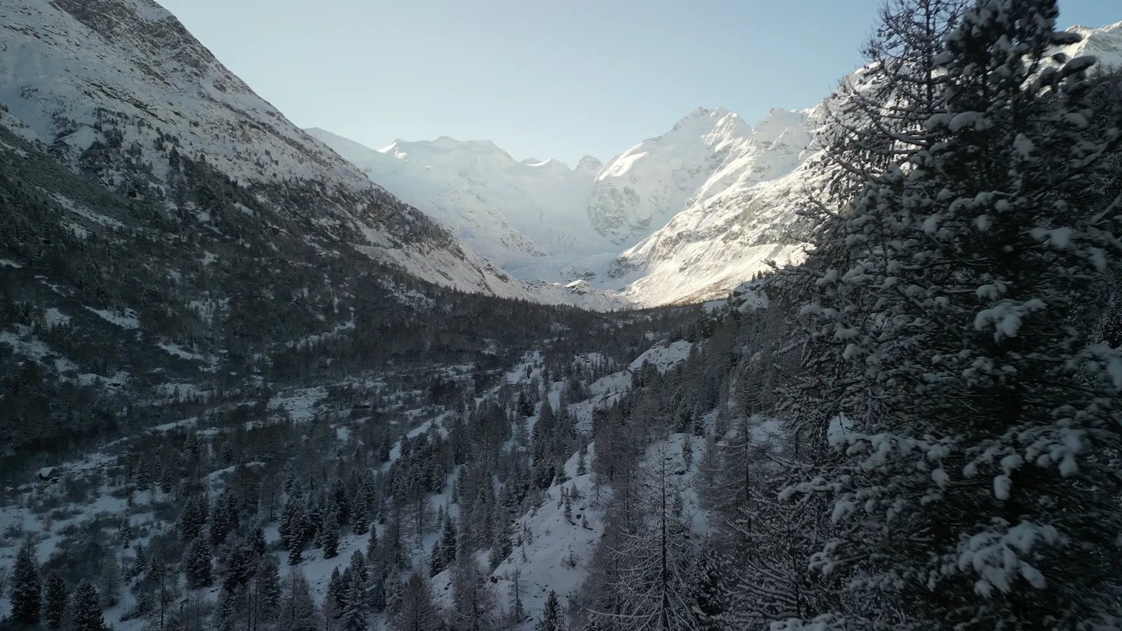
The approach to Val Thorens follows the Belleville valley. Holiday Saturdays and snowfall can significantly affect the final part of the journey. We prepare your pick-up with your flight or train schedule and exact residence address.
Journey time depends on traffic, weather and your exact address. Your itinerary is adapted to conditions on the day.
Reserve
Your arrival starts here.
Prepare your journey, then continue in our secure booking space.
Airports & railway stations
The first chapter
of your stay.
This run has a characteristic the others do not: both its ends are sensitive to conditions. At one end, a mountain airport. At the other, the highest resort in the Belleville valley, reached after Saint-Martin and after Les Menuires, at the end of a road that does not continue.
Planning before you need to
We will not claim that nothing ever disrupts a flight into a mountain airport, nor that a high mountain road is the same in every season. What we can say is that a fallback prepared in advance is worth far more than one improvised on the day, when everyone is looking for the same thing at the same time.
In practice: we know at the time of booking what we would do if your flight could not land, and we tell you. Depending on the situation that may mean collecting you from another arrival point, or picking you up from Chambéry-Challes-les-Eaux railway station. Thinking about it costs nothing.
A resort at the head of the valley
Val Thorens closes the Belleville valley. It is the most exposed of that valley’s three arrivals: whatever disrupts the lower valley propagates to everything climbing behind it, and Val Thorens is what is behind. The resort also manages its internal traffic strictly, which decides how close a vehicle can bring you.
Details for your arrival in Val Thorens
Provide the name and full address of your residence, hotel or chalet, along with the flight number into Chambéry. The address helps prepare the final approach and the meeting point, subject to access restrictions on the day. Count ski and snowboard bags separately from suitcases so that luggage space can be checked for your party.
If your airline changes the arrival airport, send the updated itinerary before confirming a revised pickup. An alternative airport is a different journey: the arrangements, availability and price need to be confirmed.
For rail arrivals, see Moûtiers station to Val Thorens. For several flights or accommodation addresses, use our group transfer planning. Prepare your booking with the confirmed travel details.
What the figures on this page are worth
The distance and journey time shown are measured on the public road network, from the Chambéry terminal to the resort’s public reference point — its tourist office — never to your accommodation. The time is free-flowing driving, excluding winter conditions: on a short run it gives the order of magnitude, it promises nothing. Traffic, weather and changeover Saturday move it, and it is your actual exit from the terminal that sets the pick-up. On this arrival in particular, variability is higher than elsewhere: the resort sits at the head of the valley and at altitude.
Alps Executive
Your escape
begins with you.
Leave your arrival to us. Rediscover the pleasure of the journey.